Why COSYNA?
The automated observing and modelling network COSYNA has been established in order to better understand the complex interdisciplinary processes of Northern Seas and the Arctic coast, to assess the impact of anthropogenic changes, and to provide a scientific infrastructure. Data and infrastructure are available to all COSYNA partner institutions. The principal objective of observations and instrument development is to improve our understanding of the interdisciplinary interactions between physics, biogeochemistry and ecology of coastal seas, to investigate how they can be best described at present, and how they will evolve in the future.

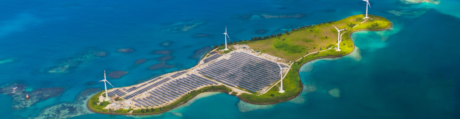
-image: Georgijeviv / iStock-
The natural processes of the North Sea are in numerous ways connected to the well-being of human societies. Recurrent issues are safety of transportation (e.g., extreme waves, or hazardous spills), coastal defense against storm surges and a slowly rising sea level, or morphology changes due to sediment transport. In COSYNA, data and knowledge tools are developed and provided to be of use for multiple interest groups in industry, agencies, politics, environmental protection or the public. These data and products can support national monitoring authorities to comply with the requirements of the European Water Framework Directive and the Marine Strategy Framework Directive. The coastal observatory involves national and international contributions to international programmes, such as COASTAL GOOS, GEOSS, GEOHAB and GMES.

-image: Roland Doerffer / Hereon-
The observational data is used for improved model descriptions and hourly updated forecasts of the environmental status of the North Sea. All data are publically available for free in near-real time at the COSYNA data portal.
Since COSYNA is one of the densest observing systems located in one of the most heavily used coastal areas in the world, it may serve as a role model for other parts of the “Global Coast“. Many global problems such as climate change, sea level rise, or ocean acidification influence in particular the ecosystems and communities along the coasts. The impact of these problems as well as the choice of the tools for their management, however, varies strongly with region.
General Objectives
COSYNA aims to significantly advance the scientific understanding of hydrodynamic processes, improve operational models, provide products for various interest groups, and support technological development, e.g. for automated, quality controlled routine measurements or for error and data analysis. A major challenge is a system-wide integration to build a coherent platform for sharing or retrieving data, products, and infrastructure.
COSYNA provides research infrastructure enabling research on a wide range of temporal and spatial scales, from extreme events to long-term trends, from small scale turbulence to North Sea-wide processes and applied to coastal areas worldwide.
COSYNA addresses the following fundamental research questions of coastal and operational oceanography:
Questions of Operational Oceanography
- Which key regions have the largest influence on coastal seas and what is the ideal instrumentation and strategy to observe them?
- How can the large range of relevant spatial and temporal scales ranging from minutes to decades and from meters to hundreds of kilometers be captured simultaneously?
- How can an observing system be optimized to provide relevant and high-quality information in a cost effective way?
- How can an observing system be constructed in a modular way to be used for a variety of processes, scales and scientific questions?
- How can observing systems become “intelligent”, i.e. sensors communicate with each other and use this information to create their own measurement strategies?
- How are observational gaps filled and model uncertainties reduced by new methods of merging observational data with dynamic models and statistical methods (data assimilation)?
- How can the data be made publically available in an easily accessible and comprehensive way?
Scientific Research Questions
- What are the relevant short-term physical processes of the North Sea, the Wadden Sea and adjacent river estuaries and how do they influence biogeochemical and biological dynamics?
- How do those processes influence the carbon budgets in the North Sea, what are the ramifications for regional carbon cycles and how do they interact with the North Atlantic?
- How important are extreme events, such as storms and river floods, for the physical and biogeochemical environment and how do they influence general trends? How stable is the system with regard to extreme events? Do multiple system states exist and if so, where are the tipping points?
- What impact do long-term anthropogenic changes have on natural processes and quantities, such as currents, waves, temperature, salinity, turbidity, ocean acidification, biological productivity or sediment transport?
- How large is the exchange of heat, fresh water, suspended matter, nutrients, and organic matter between the river systems, the Wadden Sea and North Sea?
- What are the driving factors for algal blooms?
- What are the effects of offshore wind farms on the physical dynamics, stratification, sediment transport, biogeochemical and biological processes of the North Sea?
- To what extent is regional knowledge applicable to a global context and how can we upscale regional results to be useful in other regions or worldwide?