Remote Sensing – Ocean Colour from Satellites
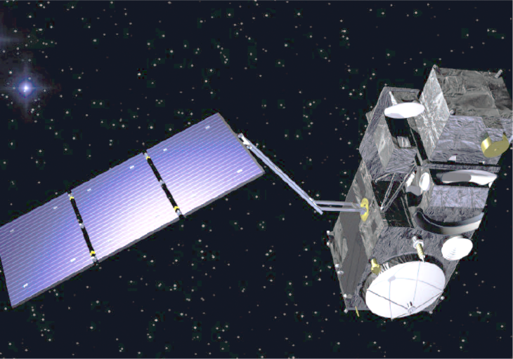
Sentinel-3 satellite. -image: ESA-
Satellite remote sensing is a unique technique used to observe large areas of ocean and land surfaces simultaneously. The colour of the ocean in the visible light spectrum can be measured and used to determine the concentrations of chlorophyll, suspended matter, and yellow substance (also known as CDOM). The algorithms for the open, blue ocean are well established, whereas they are still subject of intense research for coastal regions with their highly variable water properties. The European Space Agency (ESA) is using an algorithm developed at the Helmholtz-Zentrum Hereon to reprocess all coastal data from their MERIS spectrometer.

Chlorophyll concentration of the North Sea, 27 May 2017 at 10.09 UTC derived from OLCI with the 'Case-2-Regional' Processor. Note that only natural clouds (no contrails) are visible due to airspace closure over Europe. -image: Hereon / ESA-
This algorithm is improved in regular intervals. It is also used in COSYNA for daily processing, as demonstrated for a snapshot of chlorophyll concentrations in the North Sea on 27 May 2017.
The same algorithm is used in the Sentinel-3 mission that was launched in 2016. Monthly means and maxima are derived from the daily fields to obtain an improved understanding of the chlorophyll dynamics and to reduce the effect of cloud coverage on data.
Optical remote sensing is ideal for obtaining spatial information over large areas for almost every day. The lack of information in deeper water levels and under clouds requires additional information from in situ measurements in combination with numerical models to interpolate missing data. Additional in situ data from measurement campaigns and stationary observing systems are taken to validate and improve satellite-derived data.
| suspended matter | chlorophyll | CDOM |