Surveys with Research Vessels

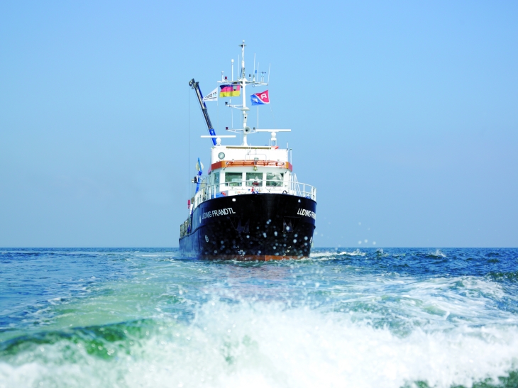
Research Vessel Ludwig Prandtl. -image: Christian Schmid / Hereon-
Research cuises across the German Bight complement the regular in situ stationary and ship of opportunity observations. They provide a quasi-synoptic overview of the German Bight.
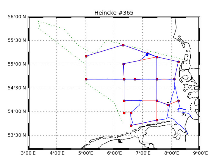
The regular repeated ship-tracks criss-cross the North Sea passing by the stationary COSYNA and state monitoring stations BSH-MARNET thus also covering the East-West and South-North cross-shore gradients in the German Bight.

RV Heincke 365 Cruise.-image: Hereon-
This pattern is complemented by short distance transects. The research vessels RV Heincke and RV Prandtl are equipped with a FerryBox, profiling water samplers and an undulating towed instrument carrier (‘Scanfish’™).
These surveys serve several purposes simultaneously:
- Spatially interpolate observed variables between the locations of the stations
- Add depth information to the surface data from FerryBoxes and remote sensing data
- Calibrate instruments with quality-controlled in situ water samples
- Test new sensor packages for later incorporation into the pre-operational observational sensor arrays
- Study the natural dynamics of the North Sea.
